 blog.gov.je
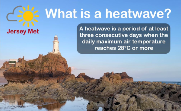
The official definition of a heatwave differs from place to place and, in any one location, it has differed over the years. The reason for having a precise definition is that we don’t want to call every unusually warm episode a ‘heatwave’, but only the ones which have notable impact. If we simply defined it (as has been done in the past) as a number of consecutive days that are a number of degrees above the climatological average for that place and time, then such events as a warm week in early March would be called a heatwave, due to having max temperatures in the high teens. This would heavily dilute the impact of the word, because nobody would have to make significant adjustments. They would simply treat it as if it were an April week and probably be very glad of it. However, in the summer months, if the temperatures are significantly higher than average, then we find that our buildings, our clothing and our work schedules are generally not prepared for such events. Heat that is normal in such climates as the Mediterranean is not normal in ours. As such, our lifestyles and infrastructure have evolved differently.
Here in the Channel Islands, just like in parts of southern England, it’s been found that people, especially those who are more vulnerable, start to struggle significantly when temperatures reach or exceed 28°C for three or more consecutive days. That’s why we use this threshold officially, to diagnose a ‘heatwave’. The word is then broadcast quite widely, through local media, advising people of such things as to stay hydrated, to keep their homes cool, and to take extra care for the health of people and pets. It also triggers official alerts and response plans for various businesses and organisations with duties of care.
The heatwave criteria don’t directly account for the overnight temperatures, but when such high temperatures are repeated daily, it gives very little opportunity for overnight recovery. Summer nights are short, especially in June and July. Typically, a day whose temperature peaks in the high twenties or low thirties, will not dip into the high teens until after midnight, or perhaps will not do so at all (officially qualifying it to be known as a ‘tropical night’). Even for the fittest and healthiest people, this can lead to a poor night’s sleep, making the following hot day even more difficult to handle.
The heatwave that’s forecast for Jersey at the time of writing this blog (Friday July 11th to Sunday 13th), comes very conveniently at the weekend. For many people, obviously not for everyone, this will be a fabulous opportunity to celebrate the beauty of the Island, managing the heat by taking frequent dips in our fabulous coastal waters. The sea temperature is currently about 18°C. The breeze will come mostly from the east, meaning that the air on the east-facing beaches will feel more refreshing, coming straight off the sea. Whilst the west-facing beaches will be great for those who like to feel hotter. High tides will be around breakfast time and again towards dusk. Low tides will be in the mid-afternoons. It will not only be very important to stay hydrated, but also to protect your skin when the sun is high in the sky. Sunburn can happen at anytime between roughly 9:30am and 4:30pm, but particular care should be taken around lunchtime, when the UV (ultra violet) index typically peaks at a value of 8 at this time of year.
Have fun, stay safe and keep up to date with the forecast at Jersey weather forecast | Jersey Met